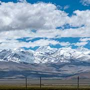
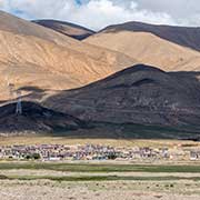
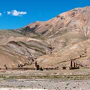
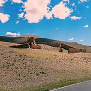
Photos of from Tingri to Gyirong, Tibet
From Tingri to Gyirong
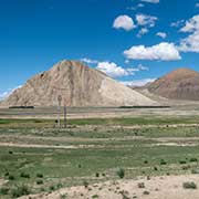
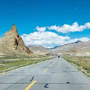
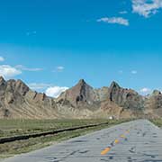
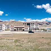
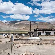
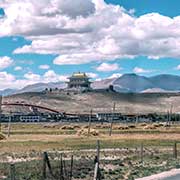
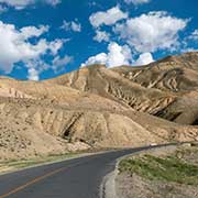
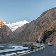
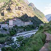
The S214 Provincial Highway branches off from Highway 318 (the “Friendship Highway”) a little after leaving Tingri and leads to the border crossing with Nepal, just south of the town of Gyirong. It is a very scenic route, leading past steep mountains and villages to Old Tingri, at 4,311 metres above sea level, an important trading town for the local people in the past. Along the way, in Nyalam County, the ruins of a monastery, silent witness to the violence Tibet endured during the Chinese “Cultural Revolution”, can be seen.
you may then send it as a postcard if you wish.
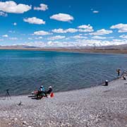
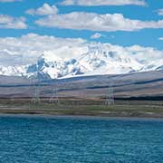
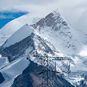
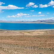
About 130 kilometres short of Gyirong town is Lake Pelku (Pelkhu Tso), a strikingly clear blue lake on the Tibetan plateau at 4,591 metres above sea level. It is about 20 kilometres long from north to south and covers an area of more than 300 km². From here, you can enjoy great mountain views: Mount Shishapangma is 60 kilometres south of the lake.
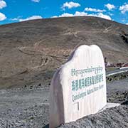
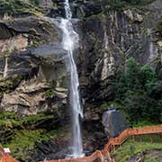
The road crosses the Ungelale Pass at 5,234 metres, with a signpost that it is part of the Qomolongma National Nature Reserve. It descends to the town of Zongga and, 17 kilometres before reaching the town of Gyirong, passes by the remarkably high Kaire (or Kerwer) waterfall; there are boardwalks to take a closer look.
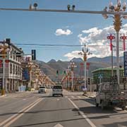
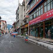
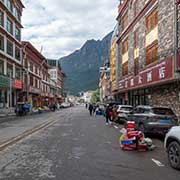
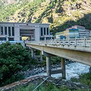
The town of Gyirong is the last one before the border with Nepal; there are restaurants and shops here, owned by Nepalese traders, who may open a business here as long as they don’t venture out of Gyirong town. Further south is Gyirong (or Kerung) Port, with the Chinese customs office and the Resuo Bridge, crossing the Trishuli River to Rasuwagadhi on the Nepalese side.
