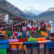
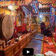
Photos of Everest Base Camp and Rongbuk Monastery, Tibet
Everest Base Camp and Rongbuk Monastery
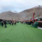
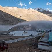
The Everest Base Camp, at 5,150 metres above sea level and 333 kilometres west of Shigatse, is at the base of the northern slope of Mount Everest. Mountain climbers use it during their ascent and descent via the northeast ridge of Qomolangma, Mount Everest. It resembles a village with large comfortable tents, equipped with stoves, seats and beds with even electric blankets. The tents are placed on both sides of a “street” paved with artificial grass and there are separate ablution blocks behind those tents.
you may then send it as a postcard if you wish.
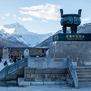
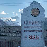
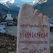
Tourists are transported by special buses from a point a few kilometres north on the road that branches from Highway 318 (the “Friendship Highway”) to a wide plaza with monuments, inscribed in Chinese, Tibetan and English, to the elevation survey that established that Qomolangma or Mount Everest, visible behind it, had been determined to be 8,848.86 metres above sea level.
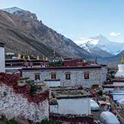
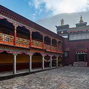
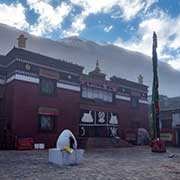
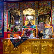
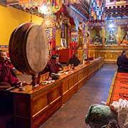
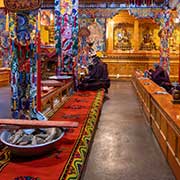
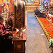
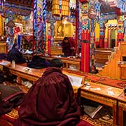
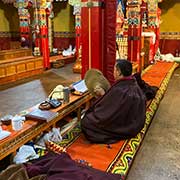
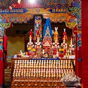
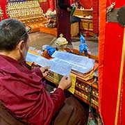
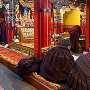
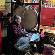
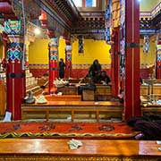
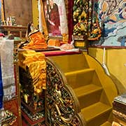
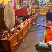
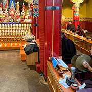
The road ends at Rongbuk Monastery, often claimed to be the world’s highest monastery, at 5,009 metres above sea level; however, at 5,072 metres, the less well-known Dirapuk Monastery near Mount Kailash is the highest. Rongbuk Monastery was founded in 1902 but was completely destroyed by the excesses of China’s Cultural Revolution (1966-1976); by 1974, all that was left was ruins. However, since 1983, renovation work has been carried out, and it is now a nice-looking small monastery. Previously, about 500 monks and nuns lived here, but now there are only about twenty nuns and ten monks.
