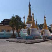
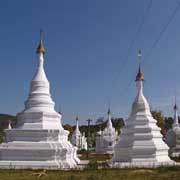
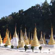
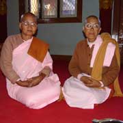
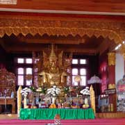
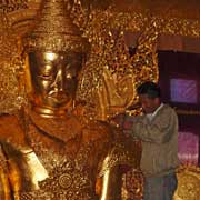
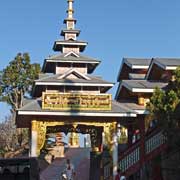
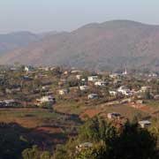
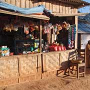
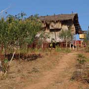
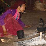
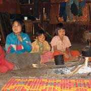
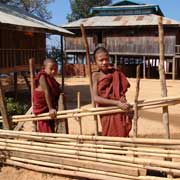
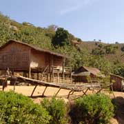
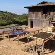
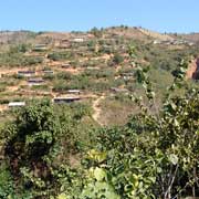
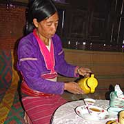
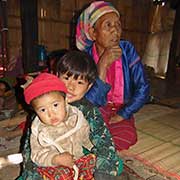
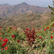
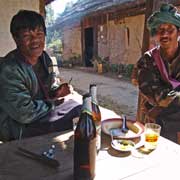
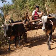
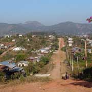
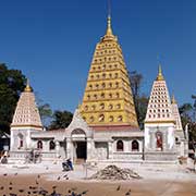
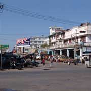
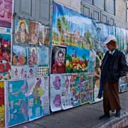
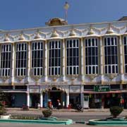
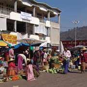
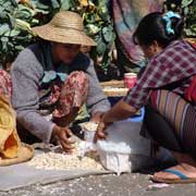
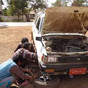
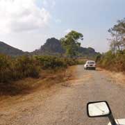
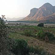
Photos of Shan State, a multi-ethnic state, Myanmar
Shan State, a multi-ethnic state
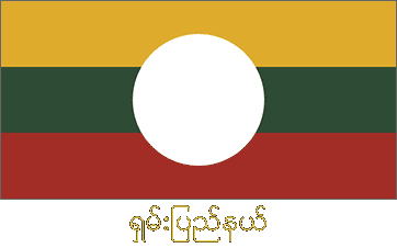
Shan State, named after the Shan people who, with several other ethnic groups, dominate the region, covers an area of 155,800 km², almost a quarter of Myanmar's total area. It shares borders with China, Laos and Thailand and is home to several ethnic armies who have resisted Burmese rule for a long time.
you may then send it as a postcard if you wish.
Shan State can be considered the successor to the princely states that had been in existence in the Shan Hills from the period of the Pagan Empire and when this fell to the Mongols in 1287, the Shan, who had come with them, stayed and came to dominate most of what is now northern Myanmar. The Shan states were multi-ethnic and although Burmanised Shans had founded the Inwa (Ava) Kingdom in central Burma, other Shan states, especially Mohnyin, continued to raid it over the years; in 1527 a Confederation of Shan States, led by Mohnyin, conquered Ava and ruled it until 1555. Over the following years the Shan states were sometimes independent, under the influence of Burmese kings and the Chinese, or autonomous. Shans served in Burmese armies, like in the First Anglo-Burmese War of 1824-1836.
After the Second Anglo-Burmese War of 1852 the Shan states were essentially autonomous and only paid token tribute to the king. King Mindon Min, accepting he couldn't win, ceded the Karenni states to the British in 1875. The central government had very little say and the British too, after they had captured Mandalay and formally annexed Burma in 1986, found it took another four years to subdue all of the Shan states. During the colonial period the British changed internal borders and in the Second World War the Shan states were occupied by the Japanese. Chinese Kuomintang troops came down to fight the Japanese and many stayed after the war, joined by others in the wake of the communist victory in China. In March 1953 they almost took the whole of Shan State, but were driven back by the Burmese army. Many of their descendants are still there, in the east of the state.
The Panglong Conference in February 1947, on the eve of Burma's independence, secured a unitary Shan State. It included former states of the Wa, a Mon-Khmer people living on the border with China but excluding the Karenni (who now live in Kayah State). In the agreement Shan State gained its right of secession after 10 years, but this right was never granted. The Shan State Army now has over 10,000 troops and has managed to get weapons from both China and the United States. Although cease-fire agreements have been signed with most groups, large areas of the state are outside government control and have come under ethnic Chinese economic and political influence. Meanwhile, the United Wa State Army, an ethnic minority army, estimated at 30,000 and allegedly involved in the narcotics trade, runs the unrecognised Wa State on the Chinese border. The Burmese have given it the status of an autonomous region as they have no control here. Chinese currency is used and as the Wa have no written language, they use Chinese instead.
The 5 million people of Shan State can be divided into nine primary ethnic groups: the Shan, Pa-O, Intha, Lahu, Taungyo, Danu, Ta'ang, Arkan and Kachin. The state capital, Taunggyi, is, with a population of around 205,000, the fifth most populous city of the country. It is situated in the south west of the state, not far from Inle Lake, a major tourist drawcard. The mountain town of Kalaw, in the west, is a good place for treks to surrounding villages inhabited by Ta'ang or Palaung, a Mon-Khmer people who also live in northern Thailand and China's Yunnan province.
