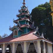
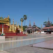
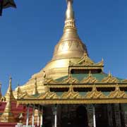
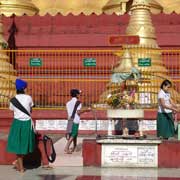
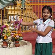
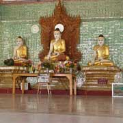
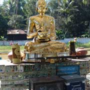
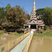
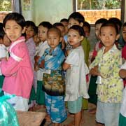
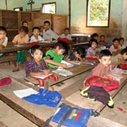
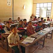
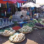
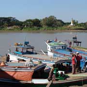
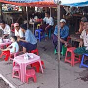
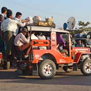
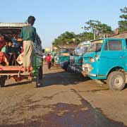
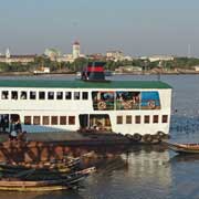
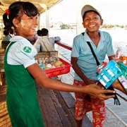
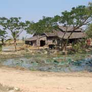
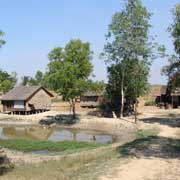
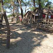
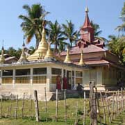
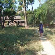
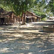
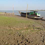
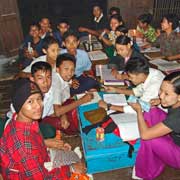
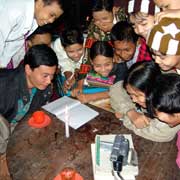
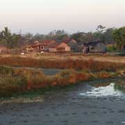
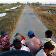
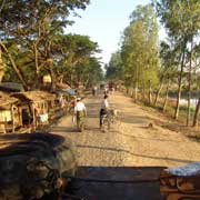
Photos of Yangon Region, around the previous capital, Myanmar
Yangon Region, around the previous capital
The Yangon Region, formerly Rangoon Division, is the area around Myanmar's former capital and largest city, the most developed region and international gateway. It has an area of 10,170 km² and a population of over 5.5 million.
you may then send it as a postcard if you wish.
This region was inhabited by Mon people and under Mon political control until 1057, when it came under control of the Burman Bagan (Pagan) Empire. From 1287 to 1539 and from 1740 to 1757 the area was again ruled by Mon kingdoms based in Bago (Pegu) and Portuguese were in control of the port of Thanlyn (formerly Syriam) and surroundings from 1599 to 1613. Thanlyn was the most important port city of Lower Burma until the founding of Yangon.
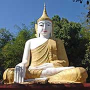
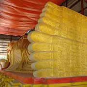
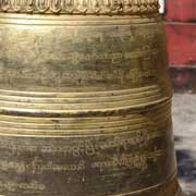
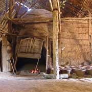
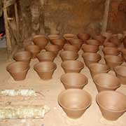
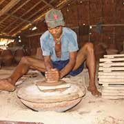
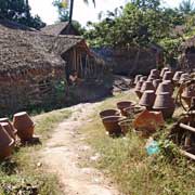
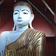
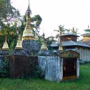
The Ayeryawady (Irrawady) delta lies to the west of Yangon with farmland, towns and villages, Twante, a small town across the Hlaing River, is known for its pottery; the Oh-Bo pottery sheds are where these are being made, in all shapes and sizes. Shwesandaw Paya with its 76 metre tall Mon-built zedi or stupa is just a few years younger than Yangon's Shwedagon. There are a number of notable Buddha statues here, like a bronze Buddha staring straight ahead, a large Buddha outside and a huge reclining Buddha.
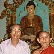
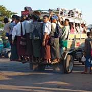
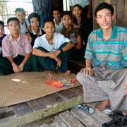
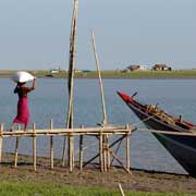
Overloaded jeeps are public transport here and, after crossing the Yangon River to Dalah, the village of Letkhokkon can be reached from here. Letkhokkon has a beach, facing the Gulf of Mottama. It is a friendly place with a small monastery and a teacher who tutors a large group of high school students at his house, until night, when studies go on by candle light.
