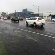
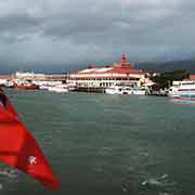
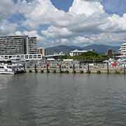
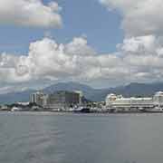
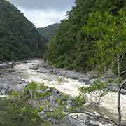
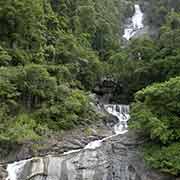
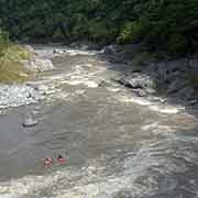
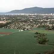
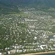
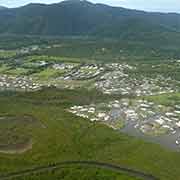
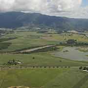
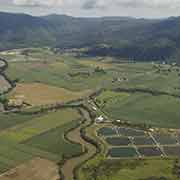
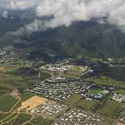
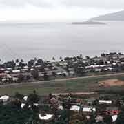
Photos of Cairns, tropical city in Far North Queensland, Australia
Cairns, tropical city in Far North Queensland
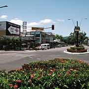
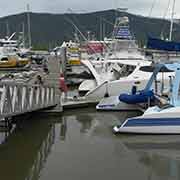
Tropical Cairns, named after William Wellington Cairns, a governor of >Queensland, who proclaimed the site a port in 1876, is the main city of far north Queensland, with a population of close to 125,000 people. It is the transport hub of the region with its international airport, rail and road links and its main tourist centre: it is the city closest to the Great Barrier Reef and cruises depart daily to the various reefs and islands off the coast and trips to the rainforest, waterfalls and the Tablelands are easily arranged.
you may then send it as a postcard if you wish.
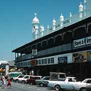
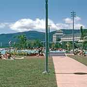
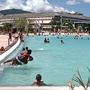
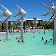
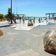
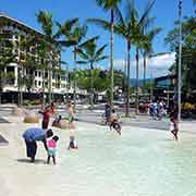
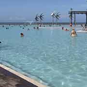
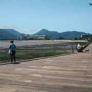
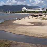
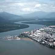
Cairns also has a shipbuilding firm, a brewery, and a naval base. There is, however, no beach in the city itself: the city faces the mudflats of Trinity Bay, but as compensation, the “Big Splash” swimming lagoon on the esplanade makes up for that. It is a very popular feature, with a small sandy beach, safe swimming and barbeque facilities. A wooden boardwalk with explanatory displays runs along much of the foreshore. Although there has been much new development in the city, there are still some good examples of neoclassical buildings from the 20s, and a stroll around the centre is very pleasant. The new City Plaza has the Cairns Museum in the School of Arts building, dating back to 1907.
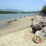
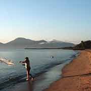
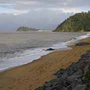
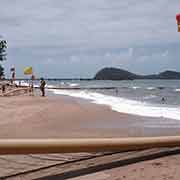
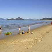
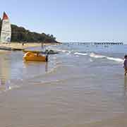
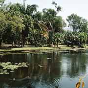
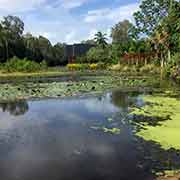
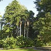
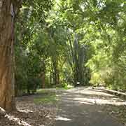
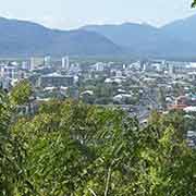
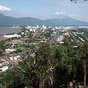
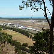
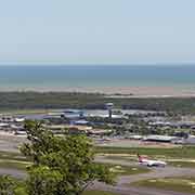
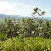
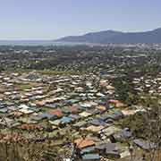
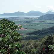
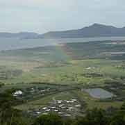
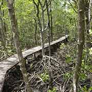
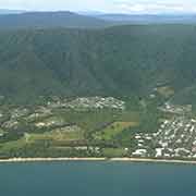
North west of the city centre in Edge Hill are the Centenary Lakes with a boardwalk through palm and paperbark forest to Flecker Botanical Gardens. Further on is Whitfield Range Environmental Park, where a track leads up Mount Whitfield, rising to about 365 metres, with good views to the city, Trinity Bay, the airport and towards the Northern Beaches. Just before the airport is the Jack Barnes Bicentennial Mangrove Boardwalk, actually two separate boardwalks offering a great insight in the diverse mangrove environment here. Although Cairns City has no beaches, as it's foreshore consists of muddy mangrove flats, the coast north of the mouth of the Barron River has good sandy beaches and there are quite affluent suburbs here. Without doubt the most prestigious is Palm Cove, Cairns' premier beach, and a seaside resort village with luxury accommodation and all facilities for holiday makers. South of there are a number of other beachside villages, some of those a blend of residents' houses and tourist accommodation, like Clifton Beach, Trinity Beach and Yorkeys Knob and others older residential suburbs with a golden beach nearby, like Machans Beach and Holloways Beach.
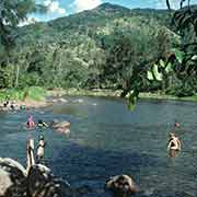
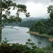
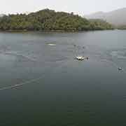
Lake Placid, to the north west of the city, is actually a natural pond in the Barron River, created by a rock barrage. It is a good spot for a swim and a picnic and there is even a restaurant. And to the south west of Cairns, along a road offering great views of the city, is Lake Morris, an artificial lake created by the Copperlode Dam on Freshwater Creek, surrounded by dense rainforest. This is also a nice spot for a picnic and there is a tearoom as well, on a veranda overlooking the lake. But swimming is prohibited: the lake is Cairns' main water supply.
Across Cairns Harbour, 37 kilometres from Cairns over the Range at the end of one of the steepest roads in Australia, is Yarrabah, an Aboriginal community that was started by Ernest Gribble, an Anglican missionary in 1892. It became a self governing community in 1986 and is presently a town of around 3,000 people with all facilities, including a hospital, primary and secondary school and a very interesting museum, named after Menmuny, the tribal leader who brought his people to this place.
