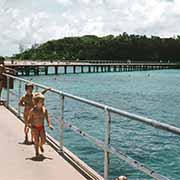
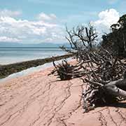
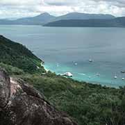
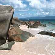
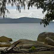
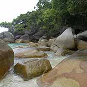
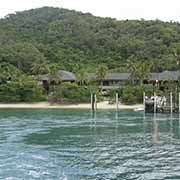
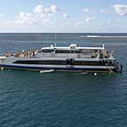
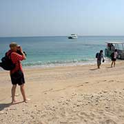
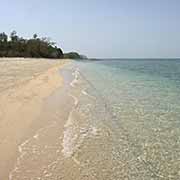
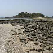
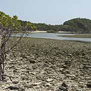
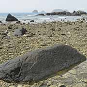
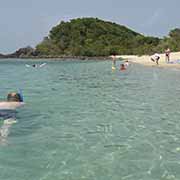
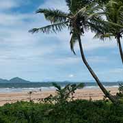
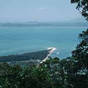
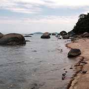
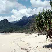
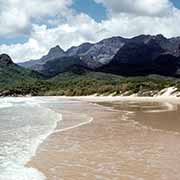
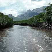
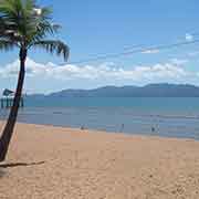
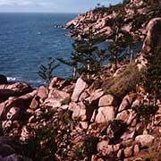
Photos of The Islands of North Queensland, Australia
The Islands of North Queensland
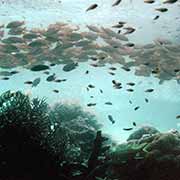
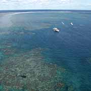
The Great Barrier Reef extends about 2,000 kilometres along the Queensland coast, from the Gulf of Papua to Hervey Bay and is the most extensive coral reef system in the world, with over 2,600 separate reefs. Sections of the reef are easily accessible from Cairns, with many tours catering for snorkelers and scuba divers. There are also around 300 islands offshore; many have facilities for tourists and can be reached on day tours. There are hotels for a more extended stay, and there are plenty of opportunities to explore the islands on bush walks and swim and snorkel in the clear tropical sea. There are day tours to the Outer Barrier Reef, with options to stay overnight as well.
you may then send it as a postcard if you wish.
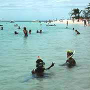
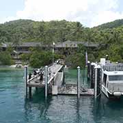
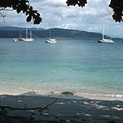
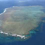
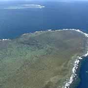
Green Island is a coral island of about 15 hectares on the inner side of the reef off Cairns and is readily accessible on the daily tours that go there. It is an ideal spot to relax on a day trip. There is an underwater observatory, a museum, a good restaurant and accommodation for a more extended stay. On the other side of Cape Grafton, a 45-minute ferry ride from Cairns, is Fitzroy Island, a continental island rising to a peak of 270 metres above the surrounding sea. There is a resort catering to day visitors, and there are camping facilities and lodge and villa-style accommodation. A bit further south is Normanby Island, part of the Frankland Islands group and reached from the mouth of the Mulgrave River, south of Cairns.
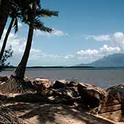
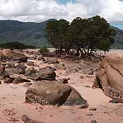
Further south, off the coast at Mission Beach, is Dunk Island, named by Captain Cook and part of Family Islands National Park. It has a peak of 240 metres and can be reached by ferry and even by plane: there is an airport. It caters for resort guests and campers. There are some great walks on the island, through rain forests to beautiful beaches. Continuing south, near Cardwell, is Hinchinbrook Island, a 35 kilometres long island separated by the Hinchinbrook Channel from the mainland and an extension of the coastal ranges. It is a fantastic place to explore; the whole island and its channel are a National Park; there are long beaches, waterfalls, mountain lookouts, rain forests and mangrove stands. A complete walk across the island may take four days! There are ferries from both sides of the island, and there are camping facilities and resort accommodation.
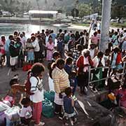
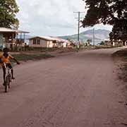
Palm Island was named for the cabbage tree palms growing there by Captain James Cook in 1770. The island has forested hills and lovely sandy bays, and coral reefs. It became an Aboriginal settlement for people from very different tribal groups brought here in the forties and fifties by the white administration, especially children of mixed Aboriginal and European ancestry, the “stolen generation”. It is now a self-governing Aboriginal community called Bwgcolman with daily ferry links to Townsville. Just off Townsville is Magnetic Island, also named by Captain Cook in 1770 because of the erratic readings the ship’s compass was giving him at the time. The island houses over 2500 permanent residents but is a popular holiday destination as well. There are frequent catamaran and ferry links to Townsville.
