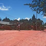
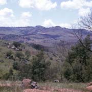
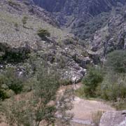
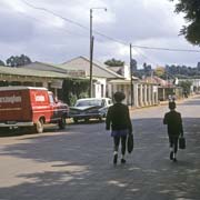
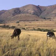
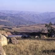
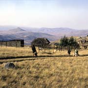
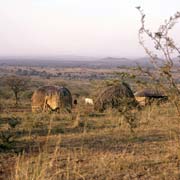
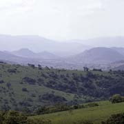
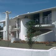
Photos of Shiselweni District, Swaziland's South
Shiselweni District, Swaziland's South
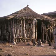
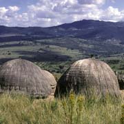
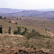
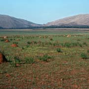
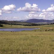
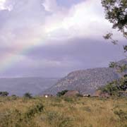
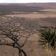
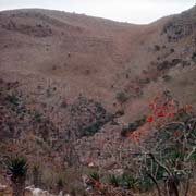
The Shiselweni District is the southern part of Swaziland and has a great variety of landscapes. It has the "Highveld", with mountains and the "Lowveld", the lower lying and generally drier country close to the South African border.
you may then send it as a postcard if you wish.
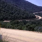
The town of Hlatikulu in the "Highveld" sits at an altitude of 1210 metres above sea level. Also referred to as "kaHlatsi" (in the forest), Hlatikulu (meaning "large forest) is the highest town of the country and in the centre of the district. The "Grand Valley Road" goes downhill to the south, towards Nhlangano.
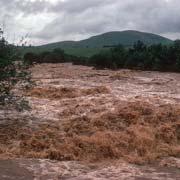
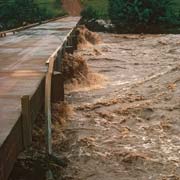
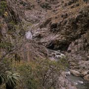
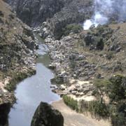
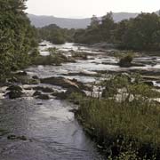
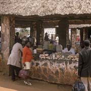
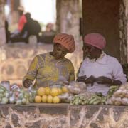
The Mkondo river, previously known by the Afrikaner name "Assegai" (Spear), flows through the district and squeezes itself through a beautiful gorge at Mahamba, right at the border with South Africa. Nearby is the town of Nhlangano, in colonial times known by its Afrikaner (Dutch) name of Goedgegun, a thriving little place with a good vegetable market and a boarding school, Evelyn Baring High School.
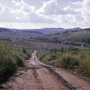
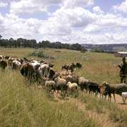
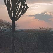
Further to the south east the country is the "Lowveld", the lower lying and drier country near the border with South Africa. There are small communities like Hluti and, at the far south eastern corner, Lavumisa. Formerly known as Gollel, it is just across from the South African town of Golela. This is a land of small farms, as is most of the country.


