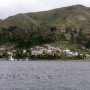
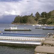
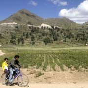
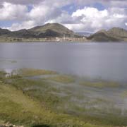
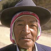
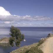
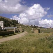
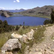
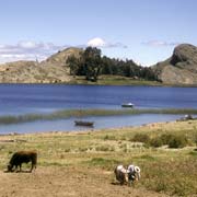
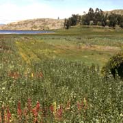
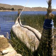
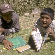
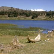
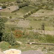
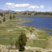
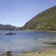
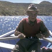
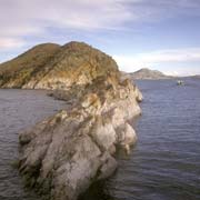
Photos of Lake Titicaca, one of the highest lakes in the world, Bolivia
Lake Titicaca, one of the highest lakes in the world
At the northern end of the Altiplano on the border of Bolivia and Peru, Lake Titicaca is, at over 3,800 metres above sea level, the highest navigable lake in the world. The meaning of the name Titicaca, combining words from the Quechua and Aymara languages, Titi (puma) and Kala (rock), is possibly “Rock Puma”, allegedly because it resembles the shape of a puma hunting a rabbit; it has also been translated as “Crag of Lead”.
you may then send it as a postcard if you wish.
The truth is, nobody knows the meaning of “Titicaca”. But it is the last remnant of Lago Ballivián, which used to cover a large stretch of the Altiplano. Due to geological processes and evaporation, the lake shrank to its present level: now being over 179 kilometres long, 97 metres kilometres wide, and with an area of around 8,000 km², it is the largest lake in South America.
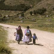
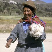
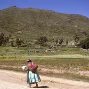
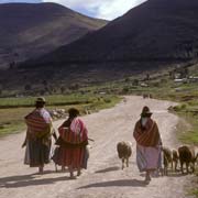
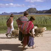
The peninsula on which the town of Copacabana is situated effectively separates the main part of the lake, also called Lago Chucuito, from the smaller sub-basin, Lago Huiñaimarca (or in Quechua, Wiñay Marka). From Copacabana, a narrow road leads to a tunnel that was used to access the underground water supply. The water flows into a carved-stone water tank and tap known as the Baño del Inca (Inca Bath) or Fuente del Inca (Inca Fountain). It is a beautiful place with great views across the lake and the local “chulitas”, women wearing their distinctive billowing skirts and bowler hats, leading a few sheep or spinning wool along the way.
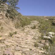
An old Inca road is still visible, following the shoreline, near the village of Titicachi. Further on is the village of Sicuani, where the traditional boats made from “tortola” reeds are still manufactured. This type of boat has been used here from time immemorial. The road finally ends at the village of Yampupata, from where it is easy to find someone with a rowing boat to take you across to the sacred island Isla del Sol.


