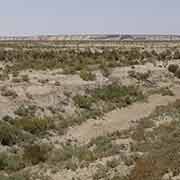
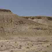
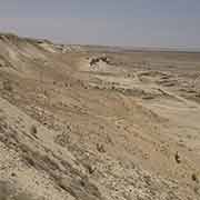
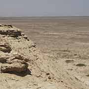
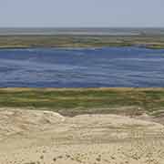
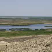
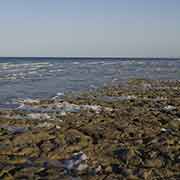
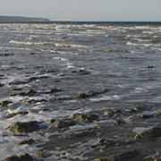
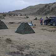
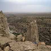
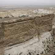
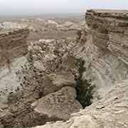
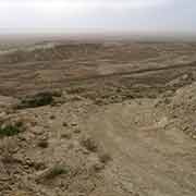
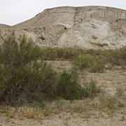
Photos of The Amu Darya Delta, Ustyurt Plateau and Aral Sea, Uzbekistan
The Amu Darya Delta, Ustyurt Plateau and Aral Sea
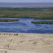
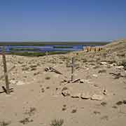
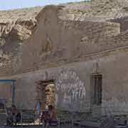
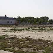
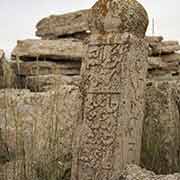
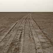
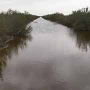
The Amu Darya Delta lies to the north west of Nukus, the capital of Karakalpakstan and this used to be a well-watered region, before the river’s waters were diverted during the environmentally disastrous decision to grow cotton during Soviet days. The town of Kongirat (Qo‘ng‘irot), 110 kilometres from Nukus, can be considered the gateway towards the remote north west; a rough road leads from there to Sudache Lake (Sudoche Ko’l), the largest inland water reservoir of the Amu Darya river, although now, because of the loss of water, the lake, formerly 3 metres deep, has become shallower and disintegrated into several smaller ones. There are remains of an old Russian settlement overlooking its shore, with weathered Russian Orthodox crosses on lonely graves.
you may then send it as a postcard if you wish.
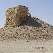
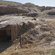
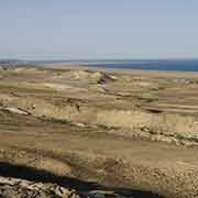
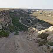
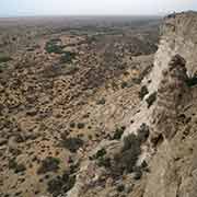
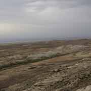
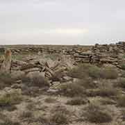
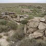
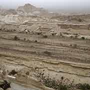
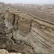
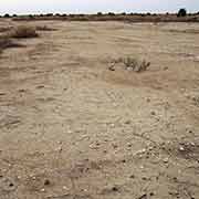
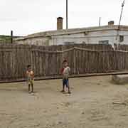
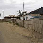
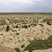
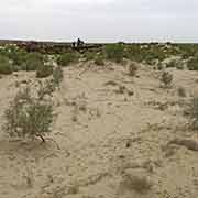
The Ustyurt Plateau rises from the Sudoche Lake and a rough road leads to the now virtually abandoned town of Kubla-Ustyurt; in Soviet days it was called Komsomolsk-na-Ustyurte. The Ustyurt Plateau is a forbidding central Asian plateau in Uzbekistan and Kazakhstan, consisting primarily of stony desert. It drops steeply to western remnant of what was once the Aral Sea (Orol dengizi in Uzbek). Formerly one of the four largest lakes in the world with an area of 68,000 km², the Aral Sea has been shrinking since the 1960s after the Amu Darya and Syr Darya rivers that fed it were diverted by Soviet irrigation projects, especially for cotton, which requires lots of water. Irrigation canals had already started to be constructed in the 1940s, but these were poorly built and water leaked and evaporated. And now, as part of a 5-year plan, this was stepped up and the Aral Sea, where the rivers flowed in, started to shrink at an alarming rate. This was of no importance to Soviet planners: they were fully aware of what happened. From 1960, when the Aral Sea, was one of the four largest lakes in the world, to 1998 the sea’s surface shrank by 60% and volume by 80%. Now there are only three small separate bodies of water left: the largest, eastern basin of the Aral Sea has completely dried up and is now called the Aralkum Desert.
It is possible to reach the water and bathe, although it involves sloshing through thick black mud and what remains of the water has a very high salinity and is polluted by the huge quantities of fertiliser and pesticides that have been used. The receding sea has left huge plains covered with salt and toxic chemicals resulting from weapons testing, industrial projects, and pesticides and fertiliser runoff. These substances form wind-borne toxic dust that spreads throughout the region. People living in the area are suffering from a lack of fresh water and health problems, including high rates of certain forms of cancer and lung diseases like tuberculosis. Toxic dust storms also cause eye, kidney and liver problems. The shrinking of the Aral Sea is one of the planet's worst environmental disasters.
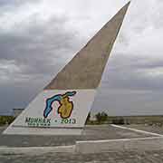
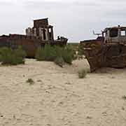
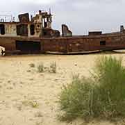
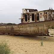
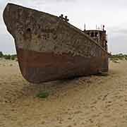
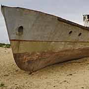
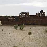
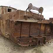
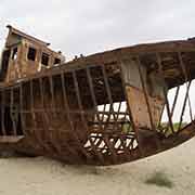
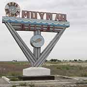
In its heyday the Aral Sea had a thriving fishing industry, employing 40,000 and supplying one sixth of the total fish catch in the Soviet Union. Now former fish towns are ship graveyards, like the town of Moynaq (Mo’ynoq): it used to have a thriving harbour and employed 30,000 people. Its Welcome sign at the entrance to the town still displays a fish, but now the shore is far away and rusting hulks of trawlers that once made up its fishing fleet lie on the desert floor.
