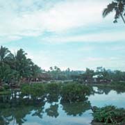
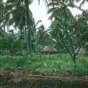
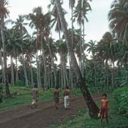
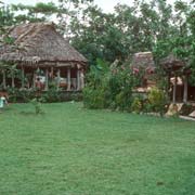
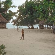
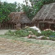
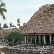
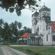
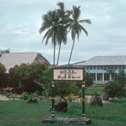
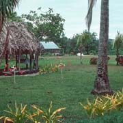
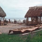
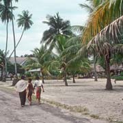
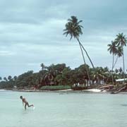
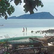
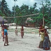
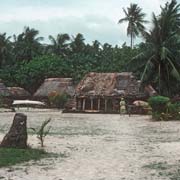
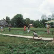
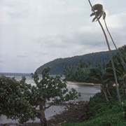
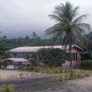
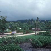
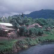
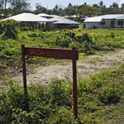
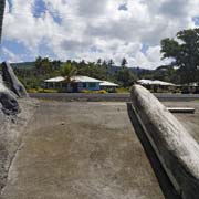
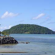
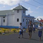
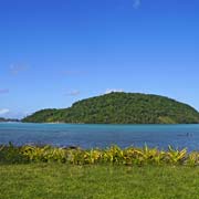
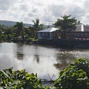
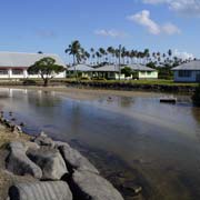
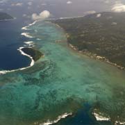
Photos of the Aleipata District, eastern Upolu, Samoa
The Aleipata District, eastern Upolu
The east coast of Upolu island is known as the Aleipata district, a sub-division of the most ancient Samoan district of Atua in eastern Upolu.
you may then send it as a postcard if you wish.
Historically Aleipata was very important; in the old days travellers from Manu'a (the easternmost of the Samoan islands, where it is believed the ancestors of today's Samoans first landed, now in American Samoa) on their way to Upolu and Savai'i would stop here; their host would be the chief of the village of Salea'aumua, the seat of government of the Aleipata district.
It used to be a rather remote place in 1977, when these first photos were taken, with a dirt road ending at Ti'avia on the north east coast and the rough Richardson Track leading to the cross islands road; there is now a good bitumen road with daily buses and there are even plans for an airport as especially the south east coast of Upolu has great tourist potential.
There are four small uninhabited islands off the coast: Nu'utele (1.08 km²), Nu'ulua (0.25 km²), Namua (0.20 km²) and Fanuatapu (0.15 km²). The islands are important nesting locations for seabirds and only Namua may be visited: it has a small resort with beach fales and may be reached by motor boat.


