Photos of The North of Mauritius
The North of Mauritius
To the east and north of Port Louis is the Pamplemousses District (named for the French word for grapefruits), one of the most densely populated parts of the island. Further north is the District of Rivière du Rempart, with its northernmost point of Cap Malheureux.
you may then send it as a postcard if you wish.
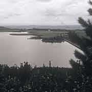
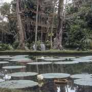
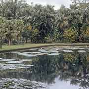
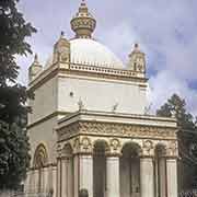
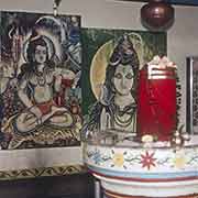
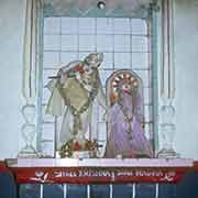
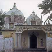
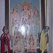
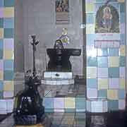
Just to the east of Port Louis is Les Mariannes, now a “Wellness Sanctuary” resort. Nearby is La Nicolière, a reservoir, constructed in 1929 and one of the primary water sources for Port Louis and the northern Districts. In the centre of the Pamplemousses District is the Sir Seewoosagur Ramgoolam Botanical Garden (in 1988 named in honour of the first prime minister). It was first constructed in 1770, during the French period and is probably the earliest of the ‘botanical gardens’ in the tropics. Its most famed sight is its giant water lilies (Victoria amazonica). Further north is the village of Triolet with its Maheswarnath Mandir, a Hindu temple, founded in 1888. It is the biggest and one of the oldest of its kind on the island; the main temple is a variation of the “ratna” style of West Bengal.
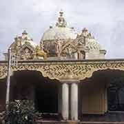
The northernmost point of Mauritius is Cap Malheureux, in the District of Rivière du Rempart. In 1810 the British tried to take the island from the French to stop raids on British ships by corsairs from Mauritius. Their attempt to invade in Grand Port in the south failed, but they succeeded in the north, where French defences were weak. The French were defeated, and they named the place where the English invaded “Cap Malheureux”, Cape of Bad Luck. The French surrendered the island to the British on 3 December 1810. Nearby is the village of Goodlands; it has a Hindu Tamoul (Tamil) temple, with beautiful elaborate decorations.


