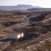
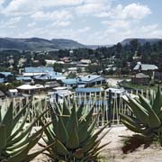
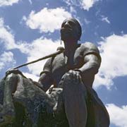
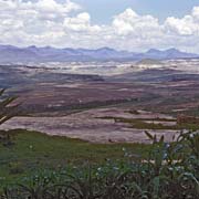
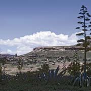
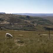
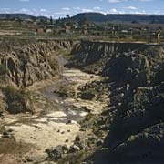
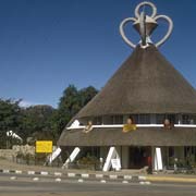
Photos of Northwestern Lesotho - From Maseru to Butha Buthe
Northwestern Lesotho - From Maseru to Butha Buthe
aseru was founded in 1869 by the British as a small police camp when Basutoland became a British protectorate at the end of the Free State-Basotho Wars, in which the Basotho lost a large area to the Boers. The city is located on the Mokohare (Caledon) River, the border with South Africa. It is at the edge of the “conquered territories” relinquished to the Orange Free State (now the Free State province of South Africa) and 24 kilometres west of Basotho King Moshoeshoe I’s stronghold Thaba Bosiu, the previous de facto capital.
you may then send it as a postcard if you wish.
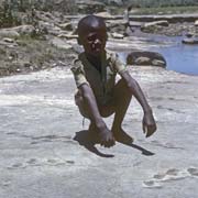
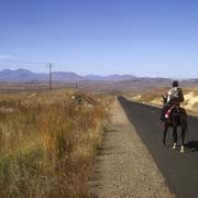
The Main North One road runs parallel to the South African border. After 40 kilometres is the town of Teyateyaneng (usually abbreviated to T.Y.). Teya-Teyaneng means “place of quicksands” and is the “Camptown” or district capital of the district of Berea. It was founded in 1886 as the capital of Berea by chief Masophal. A few kilometres north of Hlotse are dinosaur footprints preserved in the rocks. There are quite a few sites like this in Lesotho.
Further north is the district of Leribe with its Camptown of Hlotse and then Butha Buthe, the most northerly district of Lesotho. Its Camptown, Butha-Buthe, was founded in 1884 on the Hlotse River to facilitate tax collection and means the “place of lying down”. In the early 19th Century, tribal groups fleeing from the warring Zulu King Shaka found refuge in the high Maluti Mountains. One group under Chief Moshesh (later called Moshoeshoe I) successfully defended the flat-topped sandstone plateau of Butha-Buthe Mountain for two years, between 1821 and 1823, before relocating to Thaba Bosiu.


