Photos around Watarrka (Kings Canyon) National Park, Central Australia
Around Watarrka (Kings Canyon) National Park, Central Australia
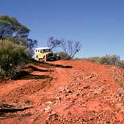
Southwest of Alice Springs, with the first 200 kilometres south along the Stuart Highway, then 108 kilometres along the Lasseter Highway towards Uluru (Ayers Rock), and then another 135 kilometres on the Luritja Road, lies Watarrka or Kings Canyon National Park, one of the most spectacular sites in the Central Australian outback. It can also be reached by a four-wheel drive vehicle, with the first 130 kilometres south along the sealed Stuart Highway and then 170 kilometres west at the end of the unsealed Ernest Giles Road or following the unsealed Mereenie Loop Road via Hermannsburg; however, a permit is needed for this road.
you may then send it as a postcard if you wish.
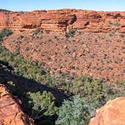
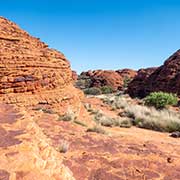
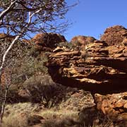
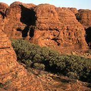
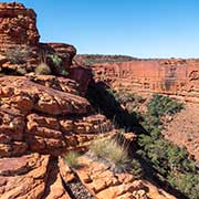
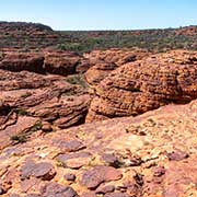
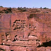
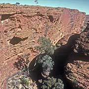
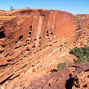
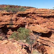
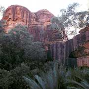
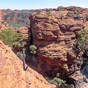
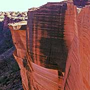
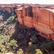
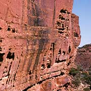
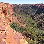
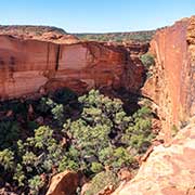
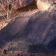
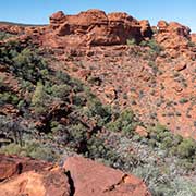
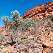
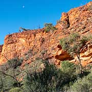
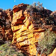
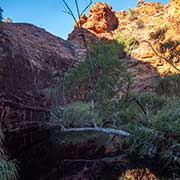
Kings Canyon offers sights unlike any other in the Northern Territory. It is set in the George Gill Range and must have evolved over millions of years. Over those epochs, cracks appeared in the sandstone, and as this fractured, huge boulders fell into ravines, eventually weathering to beehive-shaped domes, now called the Lost City. Finally, a valley with vertical sandstone cliffs, 100 metres high, was formed; the porous sandstone collects water and slowly filters it through to the bottom of the ravine, where many plants and animals flourish.
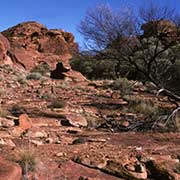
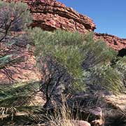
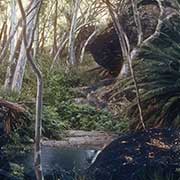
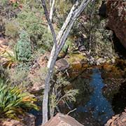
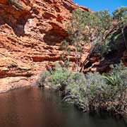
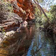
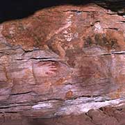
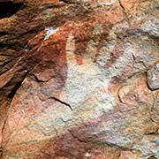
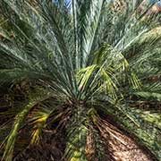
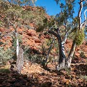
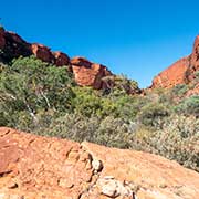
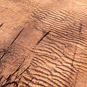
The park includes a range of environments: there are permanent springs with ferns and cycads, living fossils; desert oaks and spinifex grass cover red sandhills; but its most spectacular feature are those sandstone canyon walls, especially when they are lit by low sun at dawn and dusk. And there are great views from the canyon rim over the weathered rocks of “The Lost City” and the waterholes and lush vegetation of the “Garden of Eden”, with its palms, ferns and ancient cycads. There are many reptiles here, from the large desert perentie to small skinks and around the waterholes, with its yabbies (small shrimps), there are many birds. The Luritja Aboriginal people, who have lived in the region for over 20,000 years, are the traditional custodians of the park and have a strong voice in its management; they also operate tours that show aspects of their culture. The name “Watarrka” in their language stands for a species of acacia.
