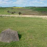
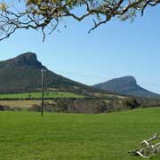
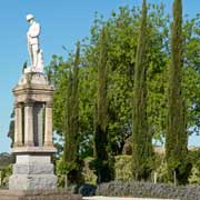
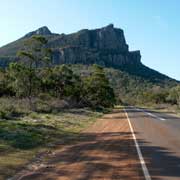
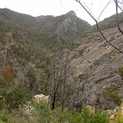
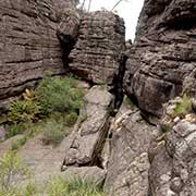
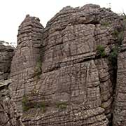
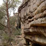
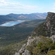
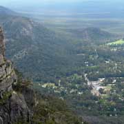
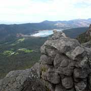
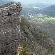
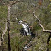
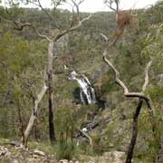
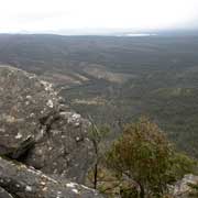
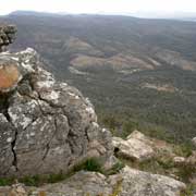
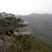
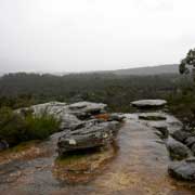
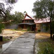
Photos of The Grampians National Park (Gariwerd), Victoria, Australia
The Grampians National Park (Gariwerd), Victoria
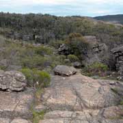
The Grampians National Park, in the west of Victoria, was listed on the National Heritage List on 15 December 2006 for its outstanding natural beauty and being one of the richest Indigenous rock art sites in south-eastern Australia. The Grampians, a series of sandstone mountain ranges, were named in 1836 by Sir Thomas Mitchell, Surveyor General of New South Wales after the Grampian Mountains in his native Scotland. The park is also known as “Gariwerd”, a name in one of the local Aboriginal languages, Jardwadjali or Djab Wurrung. The area has very important Aboriginal rock art sites and the Brambuk Cultural Centre in the town of Halls Gap is an absolute must to get an insight in the strong Aboriginal culture associated with this area.
you may then send it as a postcard if you wish.
A very picturesque road leads from the town of Dunkeld, with its prominent peaks of Mt Abrupt and Mt Sturgeon (called Mud-Dadjug and Wurgarri by the local Aborigines) and the very informative Historical Society Museum housed in an old church, to the Grampians. The centre of the park is the small town of Halls Gap, which has all amenities. From there many trips are possible, possibilities for bushwalking, rock climbing and driving to the many places with great views.
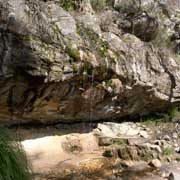
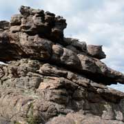
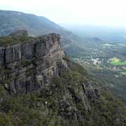
One of the best walks is the trek to the Pinnacle, in the Grampians National Park. From the car park it is almost 4 kilometres, along the “Grand Canyon”, sheer cliffs and past a small waterfall; there are spectacular rock formation along the walking track that ends at a spectacular lookout point, 720 metres above sea level, looking towards Halls Gap and Lake Bellfield. Other worthwhile views are MacKenzie Falls, the view from Reed Lookout and Balconies Lookout with its striking rock formation called “The Jaws of Death”.
